ArmA 3 ExportNoGrid
ArmA 3 Forum, ArmA 3, ArmA 3 Config, ArmA 3 Missions, ArmA 3 3D Modeling, ArmA 3 Scripting, ArmA 3 Terrain, ArmA 3 Texturing, ArmA 3 Tools
2021-08-10
Cheat command Topography is the old ArmA 2 method which prints out map grid, and ExportNoGrid is new ArmA 3 command without the grid, use exportnogrid.
- start old 2D editor by clicking mission editor window, select terrain name (don't load it), and then press CTRL-O
- press SHIFT and keypad MINUS key (SHIFT and -), then type topography or exportnogrid
If everything went well an C:\terrainname.emf file was created. If you used exportnogrid command then “Terrainname_nogrid.emf” is created.
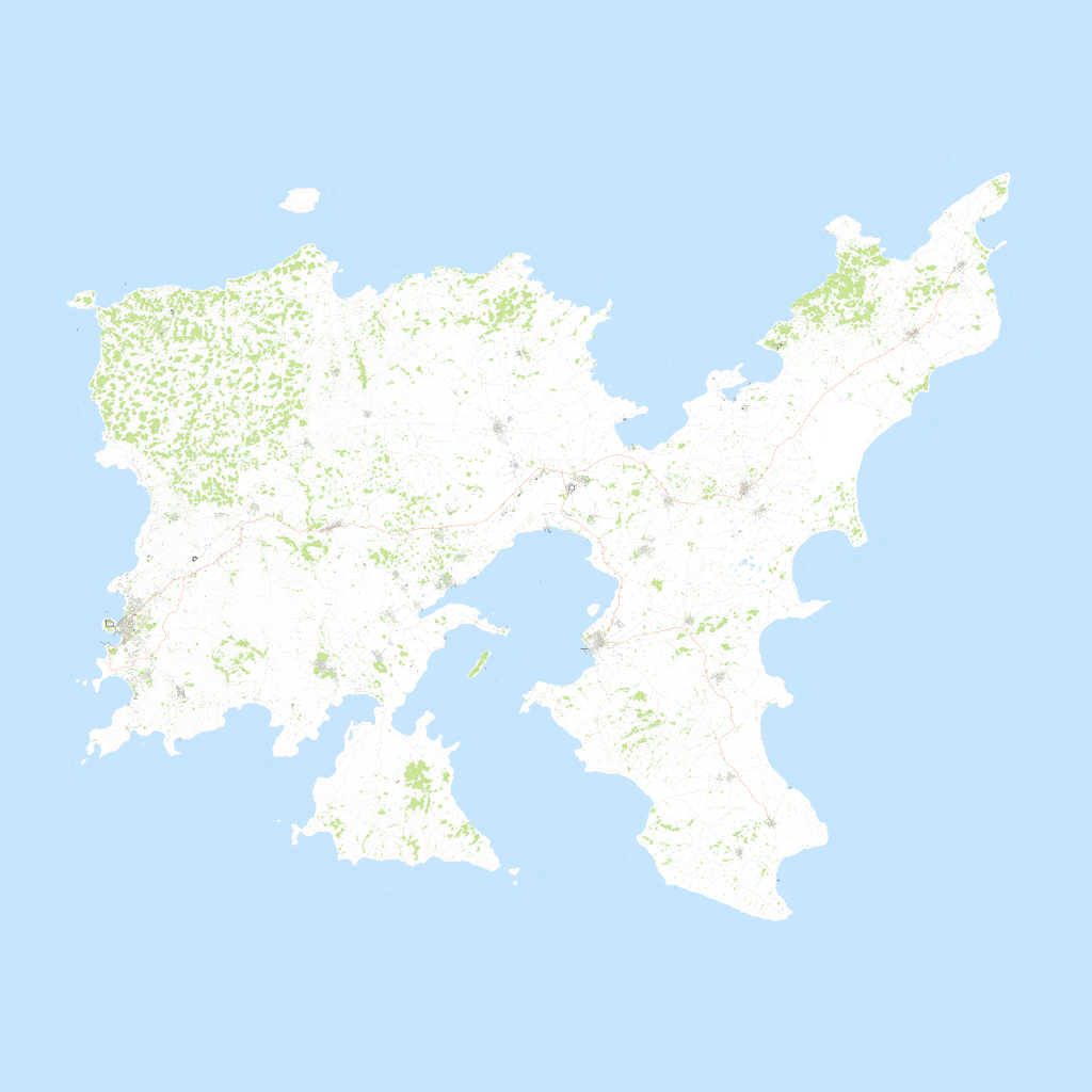
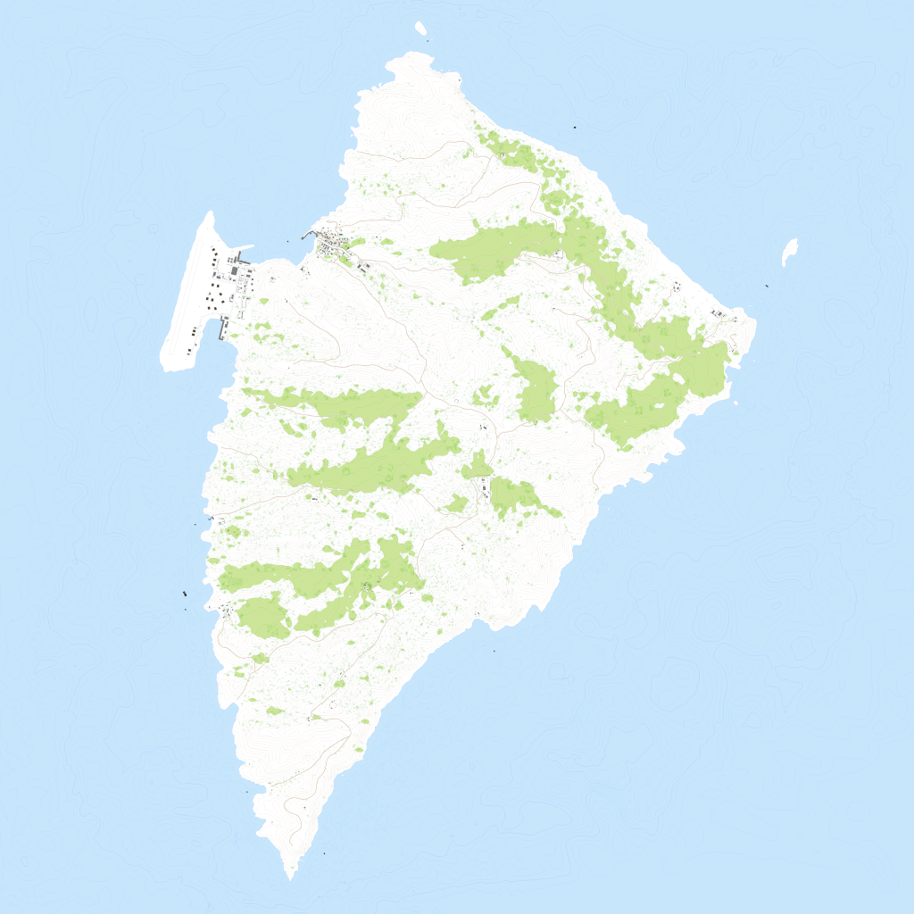
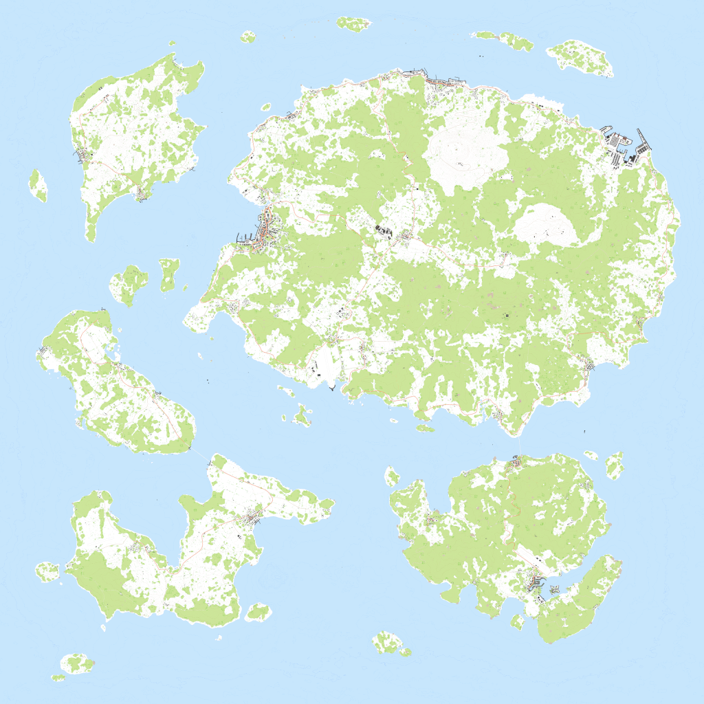
File size reference: Altis_nogrid.emf is 70.1mb, Stratis_nogrid.emf is 40.8mb and Tanoa_nogrid.emf is 58.4mb.
Below are small preview 1024 x 1024 PNG images from bis terrains.
Large Terrains
Unfortunately exportnogrid is not very viable method for large terrains. ArmA 3 will export EMF just fine and rather quickly too, EmfToPng will painstakingly slowly convert it to PNG no problems there either… but imagine what use PNG of 40,960 x 40,960 resolution is for you as that is how large export you get from 40km terrain.
1 meter is 1 pixel, 40km terrain is 40,960 meters which is 40,960 x 40,960 pixel resolution image.
What if your terrain is even larger, 81km? 102km? or like some PMC and VTE terrains 143km, not to mention the special cases which are 204km or over…
There is no way to handle images of that size.
GIMP can load 40,960 resolution PNGs and convert them to 8192 just fine, so you aren't totally out of options, it just means manual work in GIMP. I don't believe GIMP is taking 81920 resolution images very well, I've heard photoshop will read even 102,400 resolution images if you have crazy amount of RAM, but… that is so insane image size that its just not suitable to work with those kind of sizes.
With huge terrains you're better of going to mission editor and take one screenshot there and call it a day :)