Table of Contents
Falcon 4 Airbase Background Tiling and Leveling with CATE
Falcon 4.0 Forum, Falcon 4 Home, Falcon 4 Campaign, Falcon 4 Cockpits, Falcon 4 Database, Falcon 4 File Formats, Falcon 4 SRTM Terrain, Falcon 4 Terrain, Falcon 4 Textures, Falcon 4 Tools
This section instructs you to automatically tile airbase background tiles and level them by using CATE. It very simple operation basically so listen up.
First you must export Airfields from Tacedit into a CSV file. Go to the Map View, then select the menu item View → View Objectives → None. Also I'm going with View → View Units → None. Then select one more time View → View Objectives → Airfields. Now zoom out to get ALL the airbases into the view screen. Then just use left mouse button to drag a box around ALL of the airbase objectives. Select Operation dialog pops up and click Export Viewed and save the list.
Okay now you got CSV file with airbases. Feed this baby to CATE dir (or where ever) and fire up CATE, select the airbase rules (more on this later I think), load theater.L2 file and select new L2 file which you want to save. Now click Read data which time it should take few seconds to load the stuff up (time is relative to theater size, rule complexity and your computer speed), then click Update data and CATE updates the L2 data in memory. After its done (takes another while) click Save data. Done.
Default Korean Airbase Tiles And Runway Orientations
The airbase coordinates comes from Tacedit exported CSV file, simple X/Y coordinate. In our example images we have marked the coordinate with X and the other airbase tiles with O's. Lets begin.
05_23 2
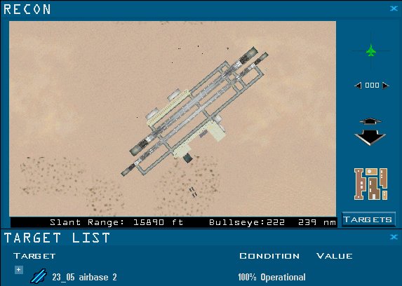
23_05 2
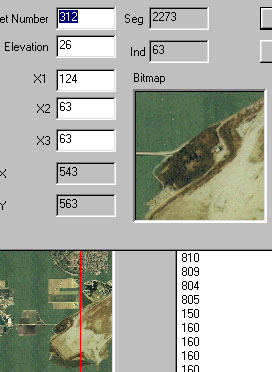
Airbase subtype 23_05 2 - wet farm tiles: 310-316 (coord tile: 312), HBASE3B 1-7. Note that Airbase subtype 05_23 2 is the same.
 OO
XOO
OO
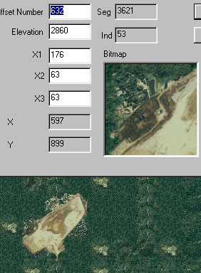
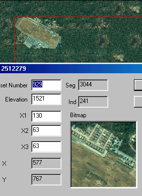
Airbase subtype 23_05 2 - forest tiles: 630-636 (coord tile: 632).
 OO
XOO
OO
01_19
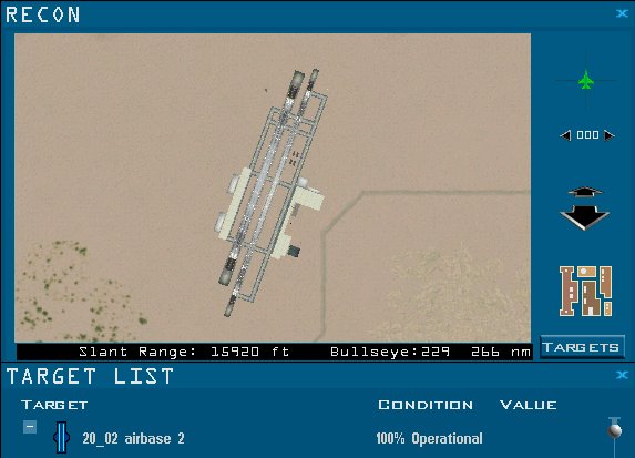
20_02 2
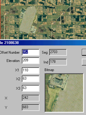
Airbase subtype 20_02 2 - tiles 950-955 (coord tile: 952). Note that 02_20 - is the same.
OO
XO
OO
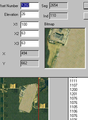
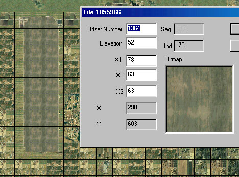
Airbase subtype 20_02 - swamp tiles: 1200-1205 (coord tile: 1202), HBASE36 6-B.
OO
XO
OO
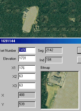
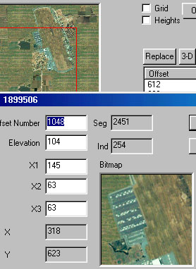
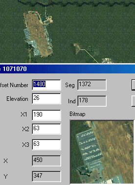
Airbase subtype 20_02 - forest tiles: 1488-1493 (coord tile: 1490), HBASE37 6-B.
OO
XO
OO
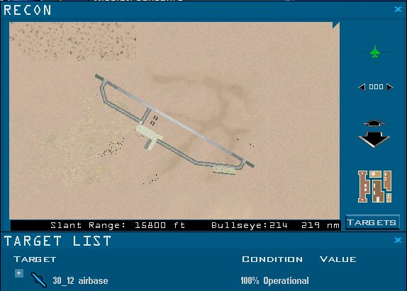
30_12
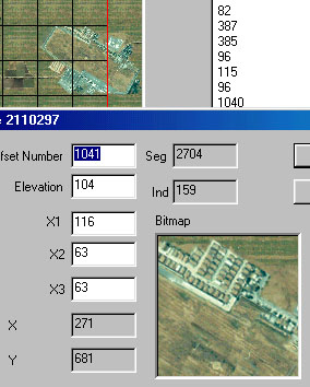
Airbase subtype 30_12 - tiles 1040-1045 (coord tile: 1041). Note that 12_30 is the same.
OXO
OOO
Airbase subtype 30_12 - forest tiles: 928-933 (coord tile: 932), HBASE34 0-5.
OOO
OXO
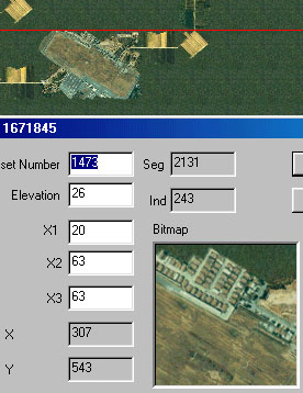
Airbase subtype 30_12 - swamp tiles: 1472-1477 (coord tile: 1473), HBASE33 0-5.
OXO
OOO
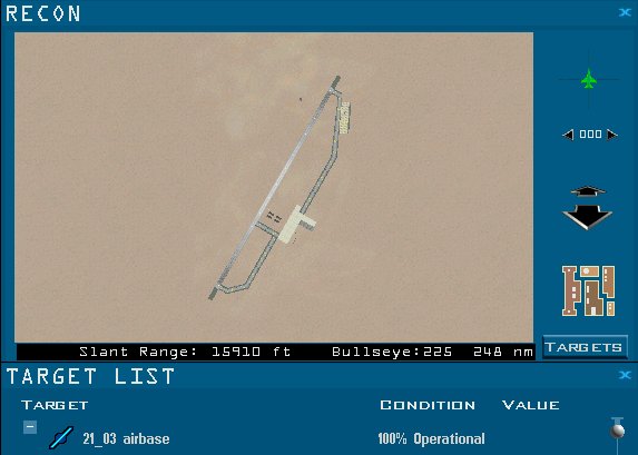
21_03
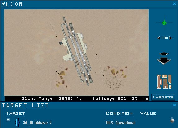
34_16 2
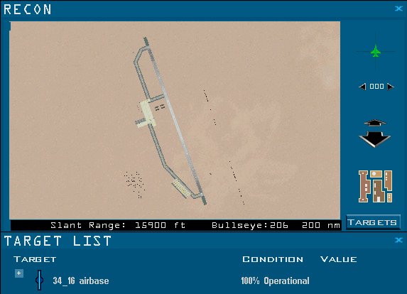
34_16
SUNAN
505 Wonsan
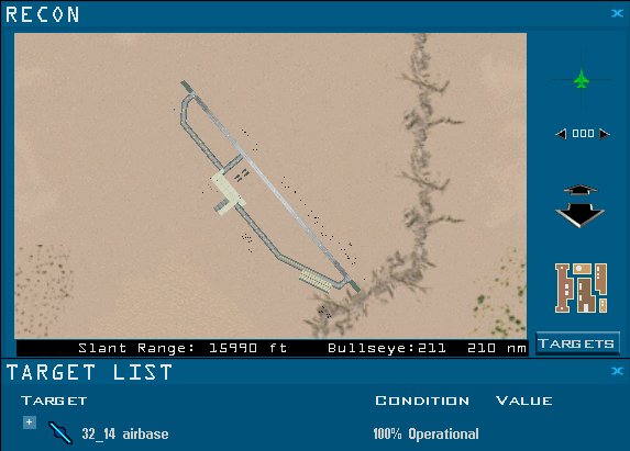
32_14
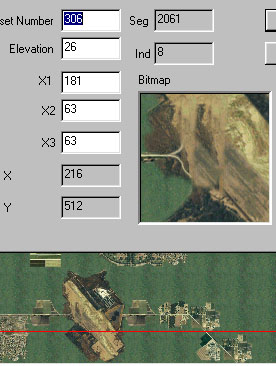
Airbase subtype 32_14 - wet farm tiles: 304-309 (coord tile: 306), HBASE3B A-F.
OO
XO
OO
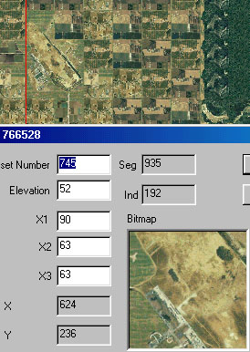
Airbase subtype 32_14 - tiles: 743-748 (coord tile: 745), HBASE3A A-F.
OO
XO
OO
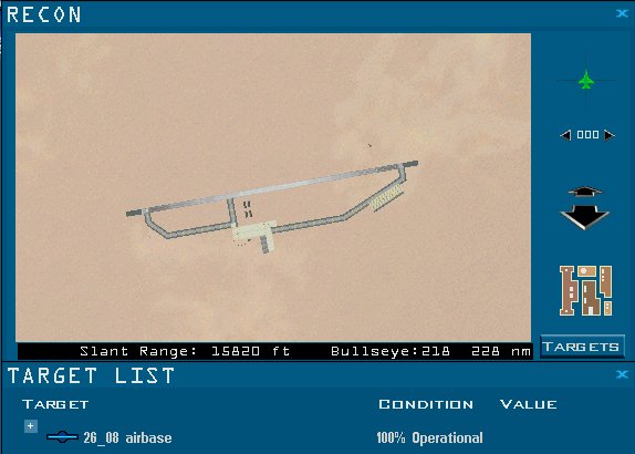
26_08
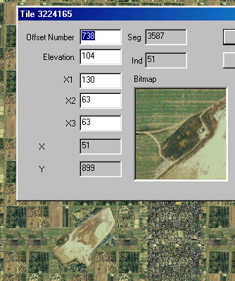
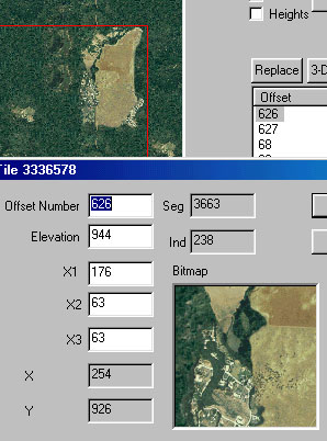
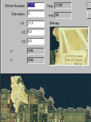
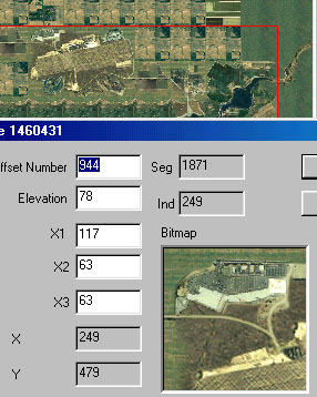
Airbase subtype 26_08 - tiles: 944-949 (coord tile: 944), HBASE38 0-5.
XOO
OOO
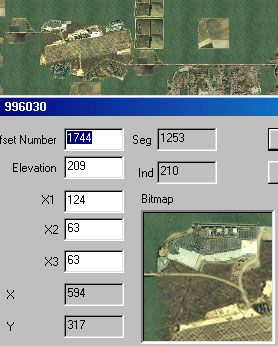
Airbase subtype 26_08 - wet farmland tiles: 1744-1749 (coord tile: 1744), HBASE39 0-5.
XOO
OOO
KIMPO
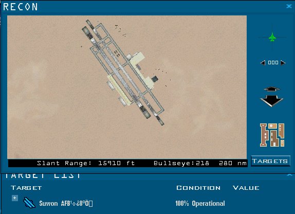
Suwon AFB
545 Osan
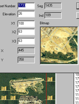
Airbase subtype 545 Osan - tiles: 1728-1735 (coord tile: 1733), HBASE54 0-7.
OOOO
OXOO
Thats the list. Please remind me if I messed something up, which I probably did :)
Airbase 3D Objective images
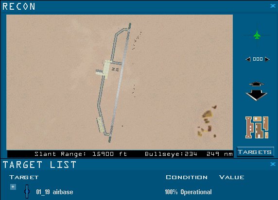
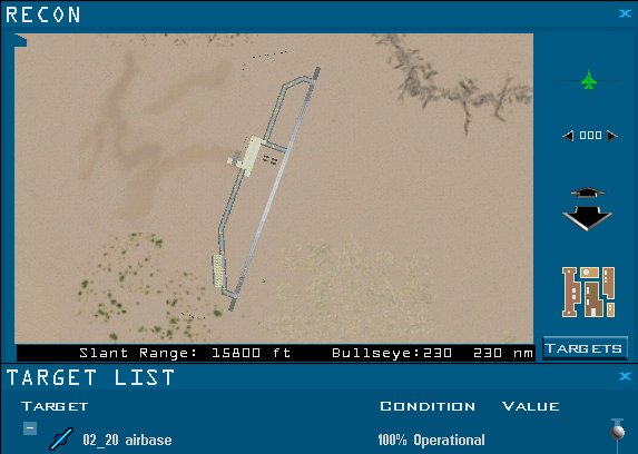
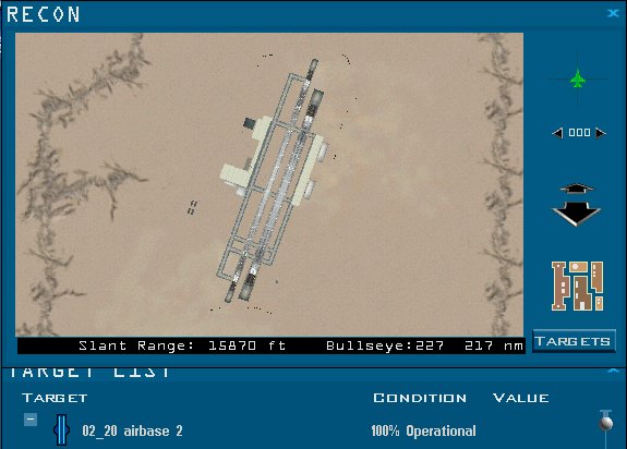
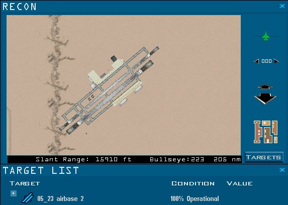
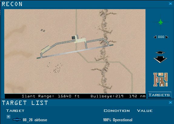
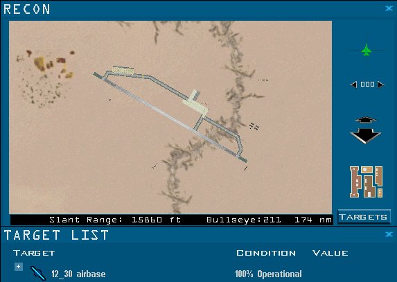
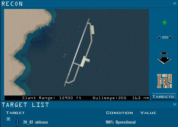
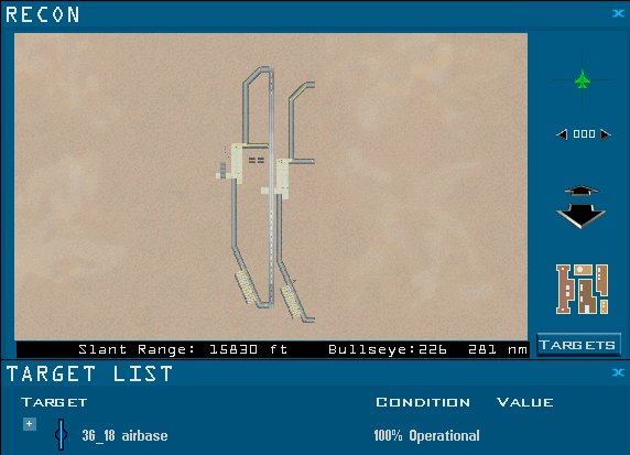
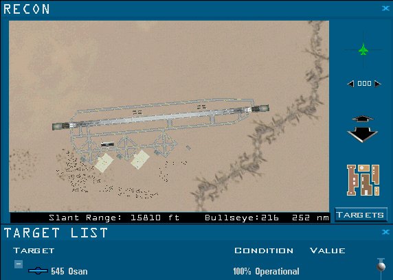
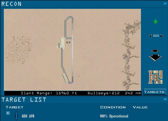
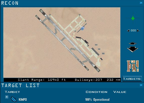
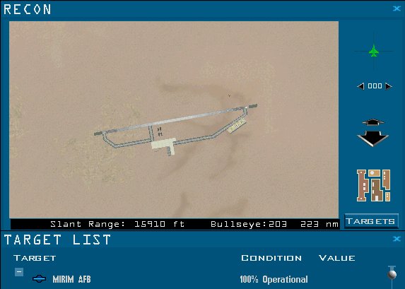
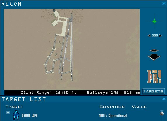
And here is the Airbase 3D Objective images in game recon view. The airbase name string matches to Tacedit export/import csv format. First is the airbase name and then OCD ID
01_19
02_20
05_23
08_26
11_29
12_30
20_02
21_03
23_05
26_08
30_12
32_14
34_16
36_18
505 Wonsan
545 Osan
GEN AFB
KIMPO
MIRIM AFB
SEOUL AFB
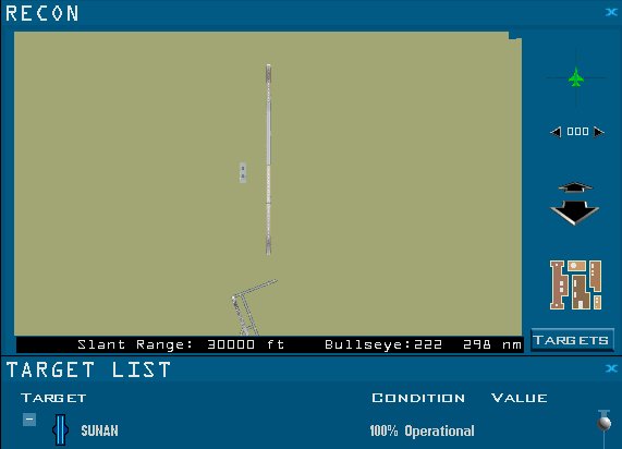
SUNAN
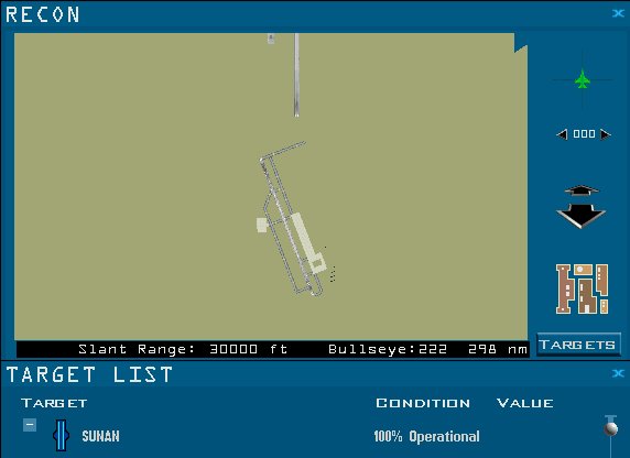
SUNAN, 1497
Sunan airbase is too big to fit into the Recon view even at 30000ft so its splitted to two images, the tacedit airbase string is SUNAN so here is the two images, north and south.

